Our Waters
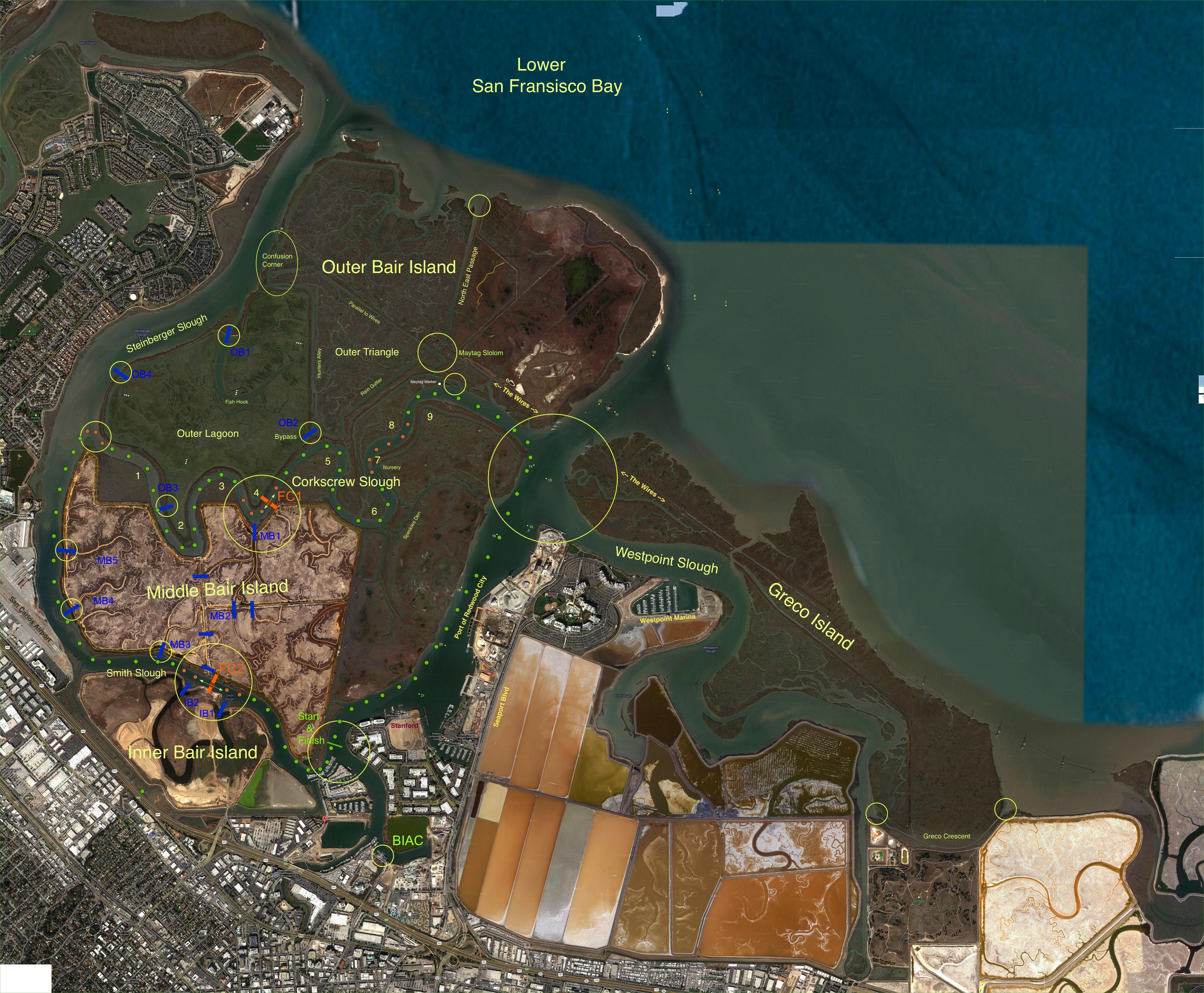
BIAC offers access to the port, shipping channel, and beautiful sloughs that comprise and surround Bair Island. A Satellite ViewThis satellite photo shows some of our waters, particularly the channel that we share with the Port of Redwood City. Click on the image for a detailed view. As a reference, from BIAC to "The Wires" is about 2.5 miles (4km). More information on our waters:
| 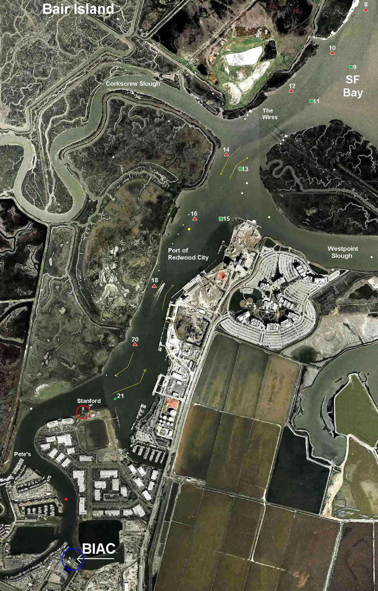 |
Channel Markers in Redwood CreekThe numbers on the satellite photograph and the map show the Port's channel markers. Green markers are odd-numbered and square shaped while red markers are even-numbered and triangular. The blue line slanting across the map indicates the high voltage power lines (the "wires"), whose towers straddle the mouth of Redwood Creek where it flows into San Francisco Bay. |
|

© Bair Island Aquatic Center 2026 |